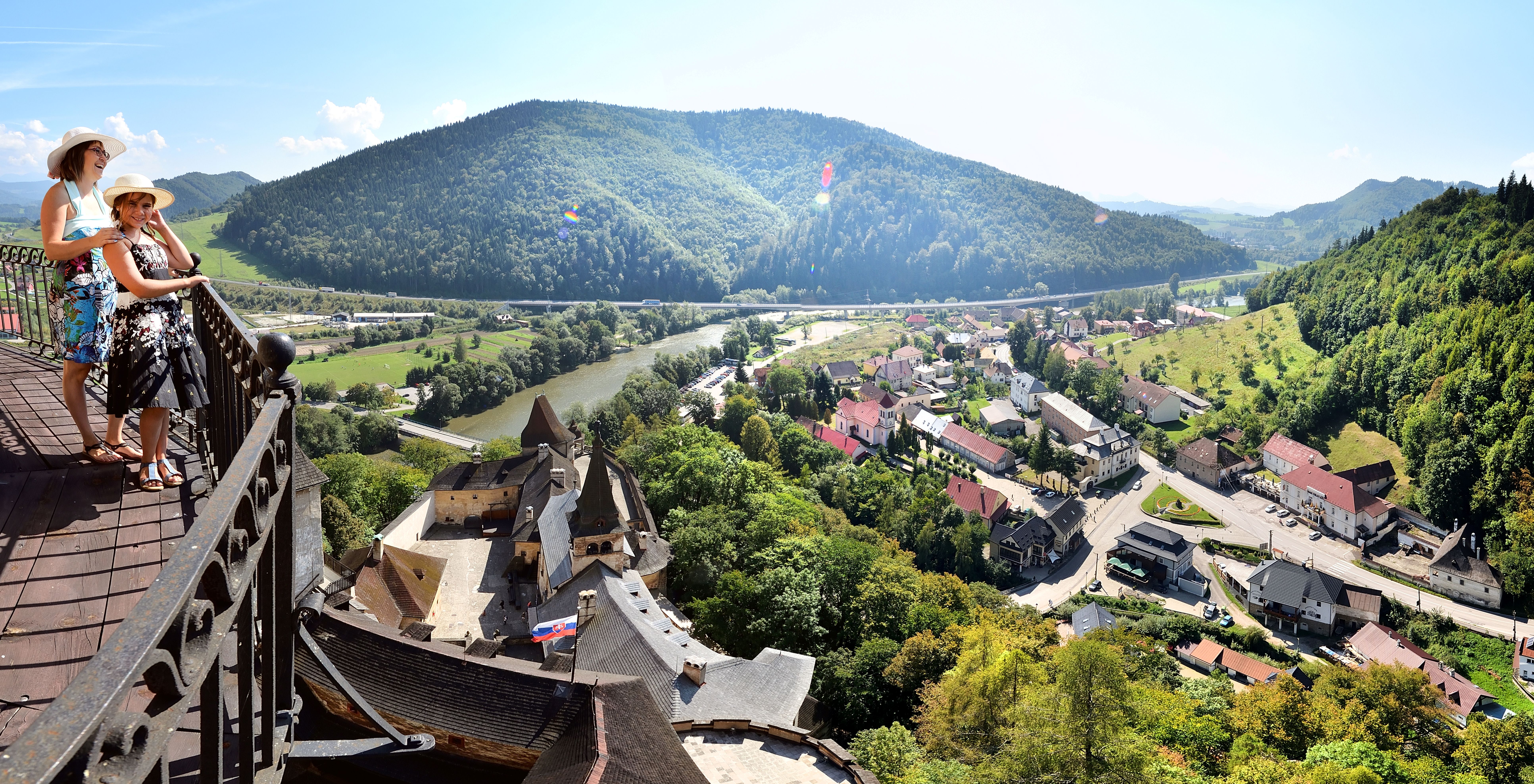
Zelená cykloturistická trasa č. 5410 spája Oravský Podzámok s Malatinou a ponúka kombináciu asfaltových, poľných a lesných ciest s peknými výhľadmi na krajinu Oravskej vrchoviny.
Trasa začína priamo pod Oravským hradom v Oravskom Podzámku. Približne prvých 1,5 km vedie spoločne s modrou cyklotrasou č. 2416, od ktorej sa následne odpája. Pokračuje cez obec Pribiš, kde nasleduje výraznejšie stúpanie smerom na lúky v lokalite Paseka.
Ďalší úsek vedie po poľných a lesných cestách cez lokalitu Tri Sosny, odkiaľ sa otvárajú výhľady na okolité doliny a pohoria. Trasa ďalej pokračuje cez Košárec a miernym stúpaním prichádza do Malatinej. Končí v lokalite Kút na križovatke s Vrchárskou cyklomagistrálou č. 042.
Trasa je vhodná pre horské bicykle a vzhľadom na stúpania a nespevnené úseky ju odporúčame cyklistom so základnou kondíciou.
Cykloturistika
5410
Parametre trasy
Stredne náročná
Dĺžka
13,6 km
Časový odhad
1 h 15 min
Stúpanie
427 m
- Typ trasy Jednosmerná (A → B)
- Klesanie 100 m
Značenie cyklotrasy
Zelená
Typ bicykla
Horský (MTB)
Začiatok
Oravský Podzámok
Koniec
Malatiná, Kút
Mapa trasy
Mapu trasy sa nepodarilo načítať. Trasu si môžete stiahnuť ako GPX súbor.
Výškový profil
Prejdite kurzorom po profile a bod sa zobrazí na mape.Povrch
Asfalt
Lesná cesta
Poľná cesta
Vybavenie a služby na trase
Platené parkovisko
Informačná tabuľa
Vyhliadka
Cykloturistika
5410
Parametre trasy
Stredne náročná
Dĺžka
13,6 km
Časový odhad
1 h 15 min
Stúpanie
427 m
- Typ trasy Jednosmerná (A → B)
- Klesanie 100 m
Značenie cyklotrasy
Zelená
Typ bicykla
Horský (MTB)
Odkazy
Google Maps
Zaujal vás tento zážitok?
Stiahnite si aplikáciu Visit Orava a vyhľadajte ďalšie zážitky na Orave.