The Northernmost Point of Slovakia – Modralová

The northernmost point of Slovakia lies within the cadastral territory of Oravská Polhora, on the Modralová peak, also marked as Beskydok on some maps. Its elevation is 1,168 meters above sea level. The hike to the summit begins in the Píla area, and the route is of moderate difficulty. In the surrounding area, you can still see trenches, machine gun nests, and anti-tank ditches from World War II. The German army constructed a logistics and communication system here and forced prisoners of war and local residents to work on this defensive line.

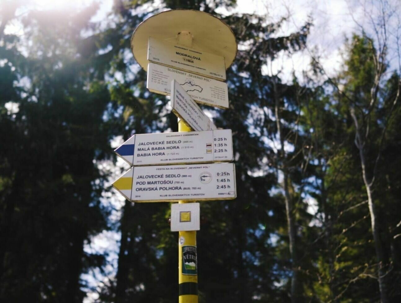
Modralová je spojnicou troch regiónov so živou gajdoškou tradíciou - oravského, sliezkeho a malopoľského. Aj preto je jeho ďalšie meno Gajdošská strunga. Aj keď mnohí turisti uprednostňujú pred Modralovou radšej výtup na Babiu horu, zdolať najsevernejší bod Slovenska sa určite oplatí, či už pešo alebo na bicykli, kedže na naň vedie aj cyklotrasa. V Oravskej Polhore, časť Píla Trasa: cca 5 hodín FOTO: Samo Kovalík

Interested in this experience?

Download the Visit Orava app and discover more experiences in the Orava region.