
Návštevníkom horských oblastí odporúčame poistiť na na zásah horskej služby.

telefón: 18 300

Hiking
If you yearn for a relaxing vacation spent in the repose of the Orava’s mountains, the Orava region is the ideal place to fulfil your dream. Orava is scattered with hiking trails, and the lovely corners of Orava’s nature are within reach of every visitor, whether you prefer short walks, a couple of hours on long, undemanding trails through mountain terrain, or whole-day alpine tours. No matter where you go, remember to be safe, and don’t forget to wear clothing and footwear appropriate for the terrain.
Roháče mountain lakes
Region: Western Tatras (north) – eastern part
Difficulty: moderately difficult hike with interesting scenery
Starting point and destination: Zverovka
Estimated time: 5 ¾ h
Elevation: 682 m
The path leading around the Roháče mountain lakes is one of the most attractive trails in Roháče. The educational trail introduces details about the rarest species of the surrounding fauna and flora on eight panels.
Zverovka • Roháče valley • Ťatliak’s chalet • Roháče mountain lakes • Spálená valley • Roháče waterfall • Adamcuľa • Zverovka.
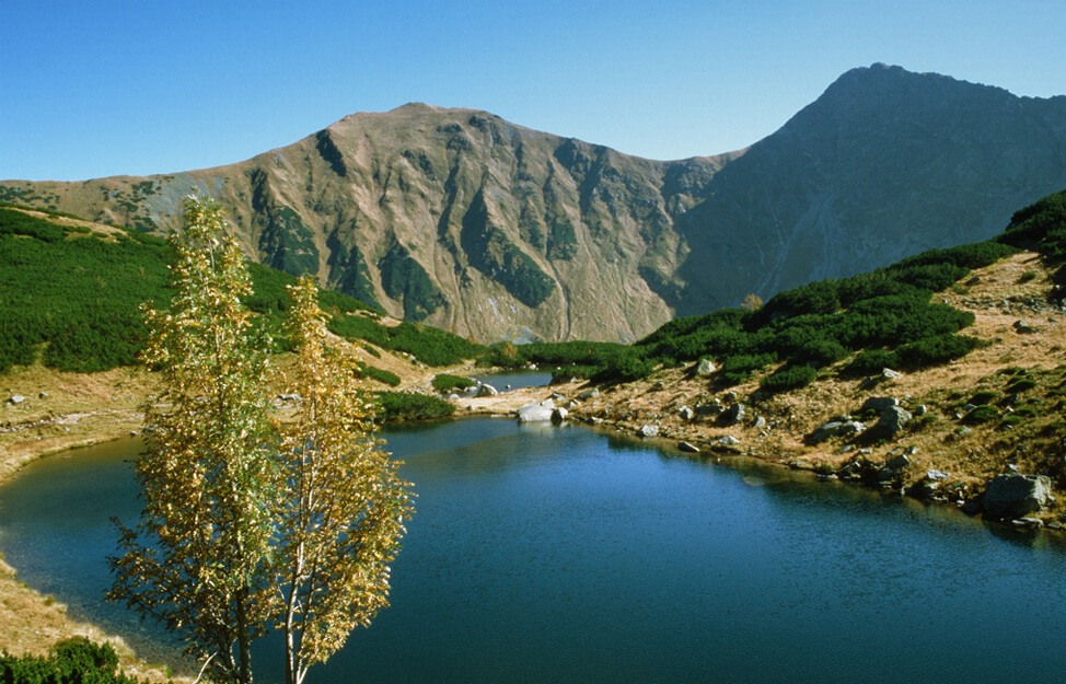
Juráňov valley
Region: Western Tatras (north) – eastern part
Difficulty: easy hike with a beautiful outlook
Starting point and destination: Oravice
Estimated time: 2 ½ h
Undemanding walk with beautiful views. The valley is considered one of the most beautiful narrow passages in Slovakia.
Oravice • Tichá valley • mouth of Juráňov valley • saddle Umrlá • Bobrovec valley • Oravice.
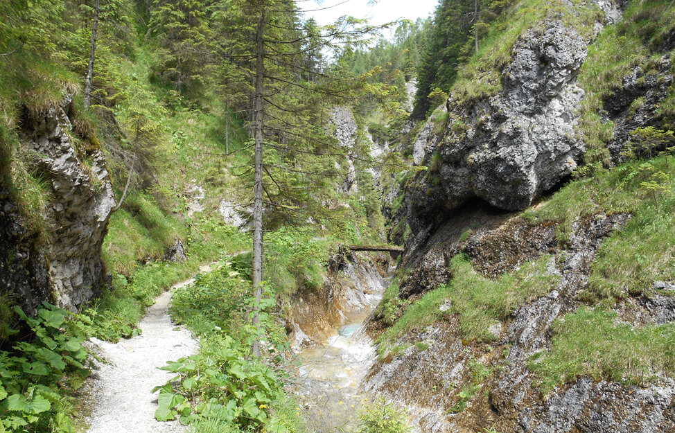
Puchmajerovej jazierko
Region: Oravská Magura
Difficulty: easy walk
Starting point and destination: Vasiľov ridge, Hruštín
Estimated time: 1.5 h
Vasiľov ridge, Hruštín • Puchmajerovej jazierko • Vasiľov ridge, Hruštín
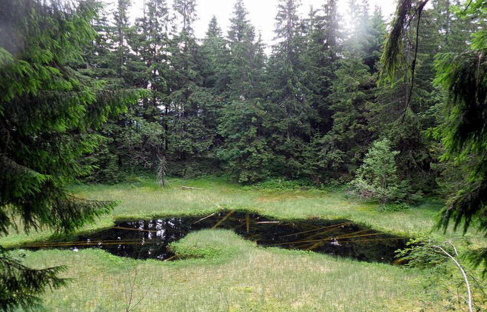
To Tupá and Ostrá Skalka
Region: Orava Highlands – southern part
Difficulty: short and easy walk in the surrounding area of Vyšný Kubín
Starting point and destination: Vyšný Kubín
Estimated time: 2:45
Elevation: 288 m
Tupá Skalka and Ostrá Skalka create a gorgeous framework of land under the Great Choč, which was inhabited by people in the distant past. On your trip, you can stop by the wooden articular church in Leštiny.
Vyšný Kubín – Tupá Skalka – Ostrá Skalka – Leštiny – Vyšný Kubín
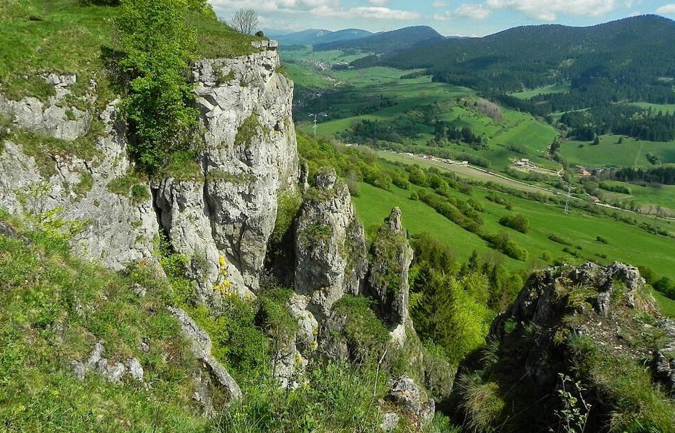
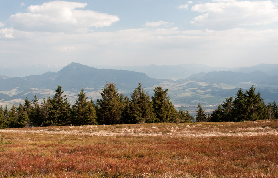
Minčol (1 395 m)
Region: Orava Highlands – western part
Difficulty: moderately difficult hiking trail with relatively high elevation
Starting point and destination: Dolný Kubín
Estimated time: 6:45
Elevation: 927
Dolný Kubín – Vtáčnik – Kamenný závoz – Mountain cottage at Kubínska hoľa – Kubínska hoľa – Minčol – Mountain cottage at Kubínska hoľa – Lovisko – Dolný Kubín
Osnica (1363 m)
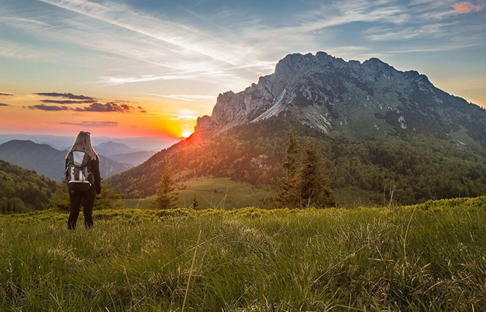
Region: Little Fatra – Krivánska Fatra (eastern part)
Difficulty: moderately difficult hike with a relatively long travel distance and high elevation
Starting point: Lučivná
Destination: Párnica
Estimated time: 5:15
Elevation: 905 m
Lučivná – Medziholie – Osnica – Párnica
Osobitá – Lúčna
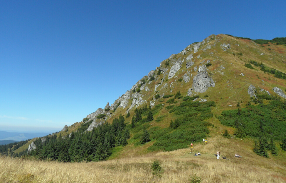
Region: Western Tatras (north) – eastern part
Difficulty: moderately difficult hike in a serene environment
Starting point and destination: Mountain hut Zverovka
Estimated time: 6 ¼ h
Elevation: 616 m
Simple hiking passage over the quietest part of Roháče with breathtaking views.
Mountain hut Zverovka • Saddle under Osobitá • Lúčna • Látaná valley • Mountain hut Zverovka
Great Choč (1611 m)
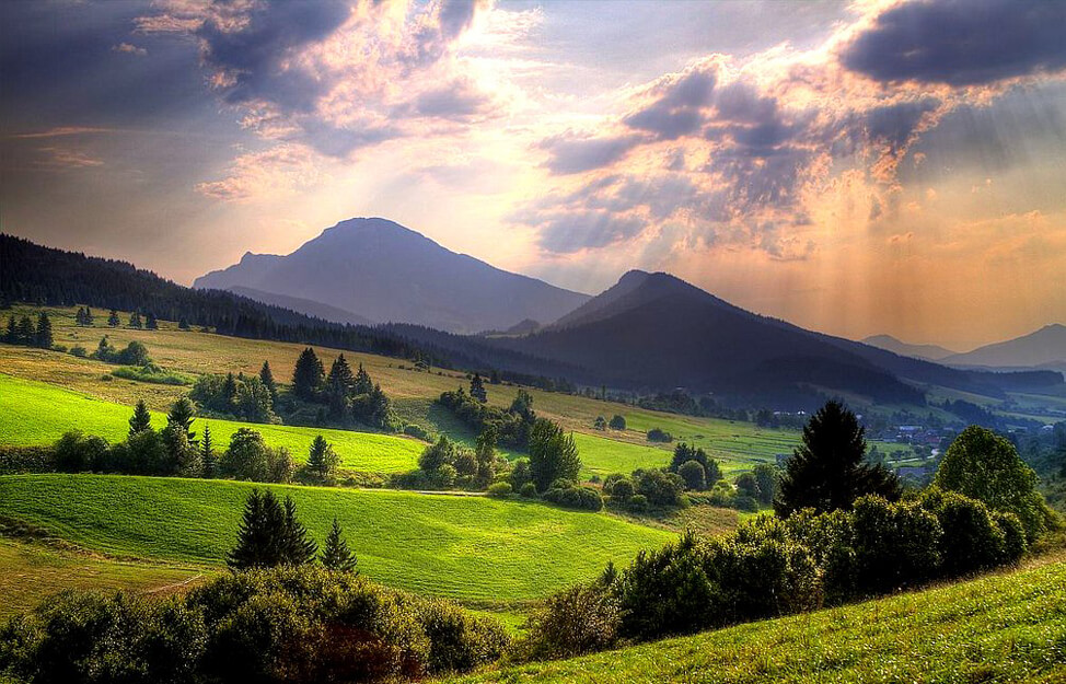
Region: Choč Mountains
Difficulty: difficult hike with beautiful views
Starting point and destination: Vyšný Kubín
Estimated time: 5:00
Elevation: 1086 m
The Great Choč is considered one of Slovakia’s prettiest mountains and where you can admire almost the whole northern part of Slovakia.
Vyšný Kubín • Drapáč • Stredná poľana • Great Choč • Drapáč • Vyšný Kubín
Grey mountain (Sivý vrch)
Region: Western Tatras (north)
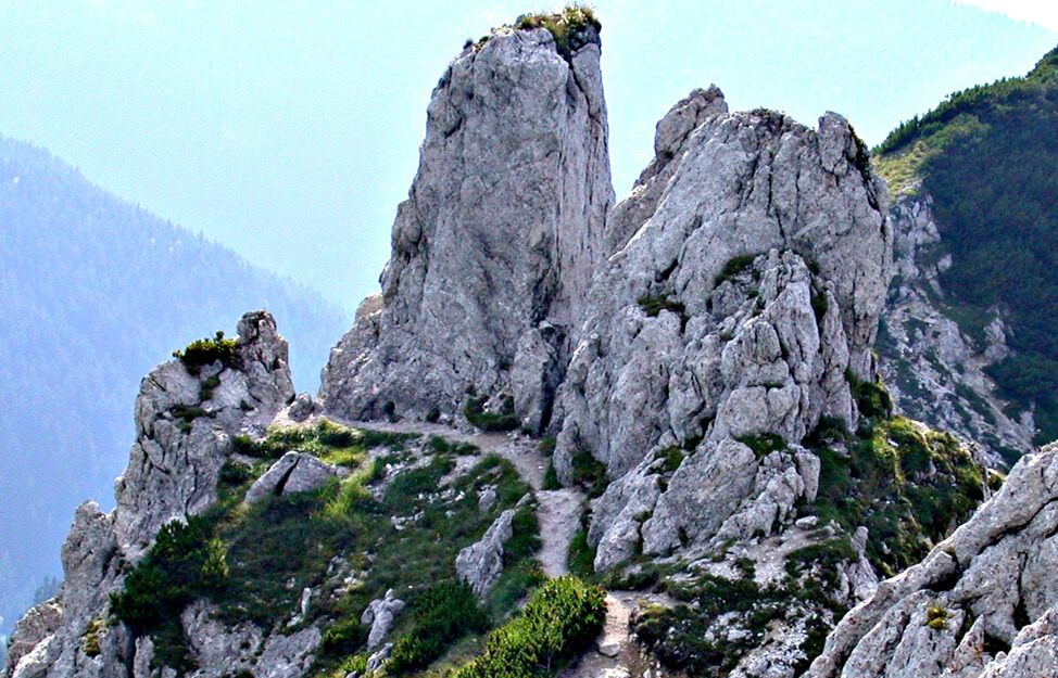
Difficulty: difficult route with chains
Starting point and destination: Horáreň – Biela Skala
Estimated time: 6 h
Elevation: 1042 m
National nature reserve with developed alpine karst, with a characteristic rock town, rock formations and a chasm. The area features extremely rich lime-loving flora. Some parts are secured by chains.
Forester’s hut under Biela skala • Pod Bielou skalou • Radové skaly • Grey mountain • saddle Pálenica • Ostrý grúň • Zuberec.
Rákoň – Lúčna
Region: Western Tatras (north) – eastern part
Difficulty: moderately difficult hike
Starting point and destination: Zverovka
Estimated time: 6 h
Elevation: 851 m
Simple hiking passage over the Slovak–Polish border with a beautiful view of the Polish Tatras and Roháče ridge.
Mountain hut Zverovka • Roháče valley • Ťatliak’s chalet • saddle Zábrať • Rákoň • Dlhý Úplaz • Lúčna • Látaná valley • Mountain hut Zverovka.

Babia hill
Region: Orava Beskids
Difficulty: A difficult hike with an elevation of almost 1000 m
Starting point and destination: Oravská Polhora – Slaná voda
Estimated time: 7 h
Elevation: 967 m
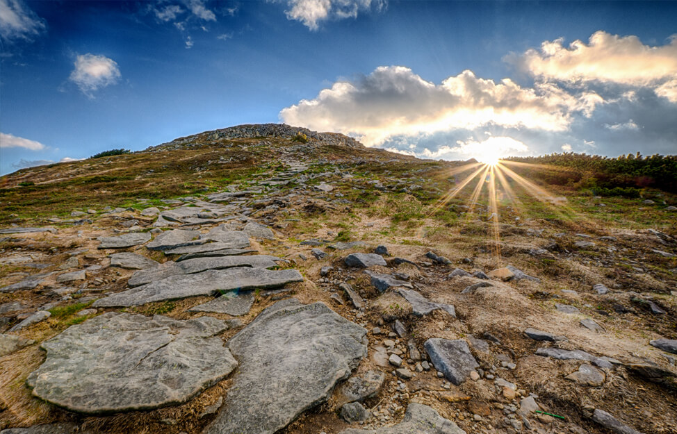
Babia hill is unique for an amazing 360° view where you can see practically all of Orava, Little Fatra, Tatras and a major part of the Polish Beskids.
Slaná voda – Hviezdoslav’s forest lodge – Babia hill– Brána – Small Babia hill – Borsučie – Pod Borkom – Vonžovec – Slaná voda
Ostrý Roháč
Region: Western Tatras (north) – eastern part
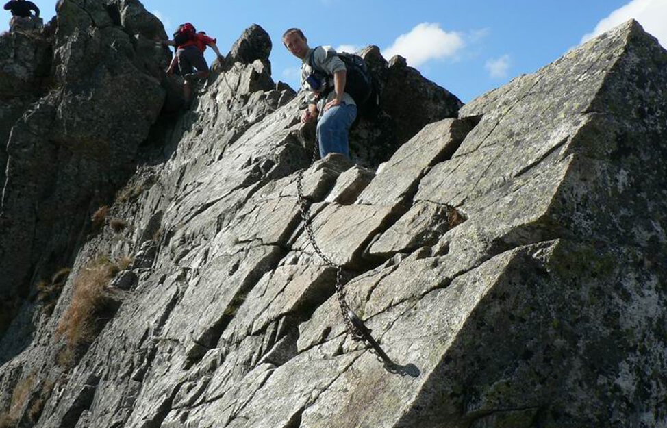
Difficulty: very difficult alpine hike with high elevation and exposed sections secured by artificial technical aids
Starting point and destination: Zverovka
Estimated time: 8 ¾ h
Elevation: 1088 m
Ostrý Roháč – typical and very interesting double peak summit. The whole geographic area is named after it – Roháče. The most demanding parts of the terrain are secured by chains. This hike is suitable only under good weather conditions.
Mountain hut Zverovka • Látaná valley • saddle Zábrať • Rákoň • Volovec • Ostrý Roháč • Plačlivé • Smutné saddle • Smutná valley • Ťatliak’s chalet • Roháče valley • Mountain hut Zverovka.
Endless nature
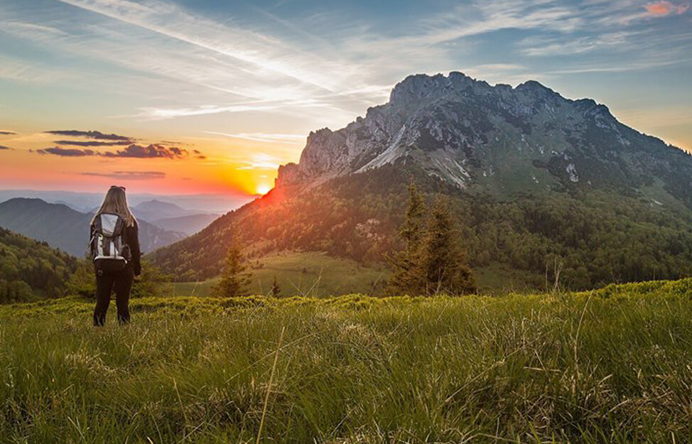
Orava, a region known not only for its beautiful mountains but also its rich history. Easy hiking for families with children in addition to demanding mountain and alpine hikes. Mountain waterfalls and lakes. Cycling for both road riders and cross riders on forest and gravel roads. Swimming in modern water parks and open water in the reservoir. Adrenaline rafting or peaceful cruising on traditional wooden rafts. There is something for everyone.
CONTACTS
Klaster ORAVA, o.o.c.r.
Hviezdoslavovo námestie 1651/2
026 01 Dolný Kubín
ID number: 42219701
VAT: 2023413898
ID VAT: SK2023413898
E-mail: marketing@orava.sk
Telephone: +421 911 747 339


